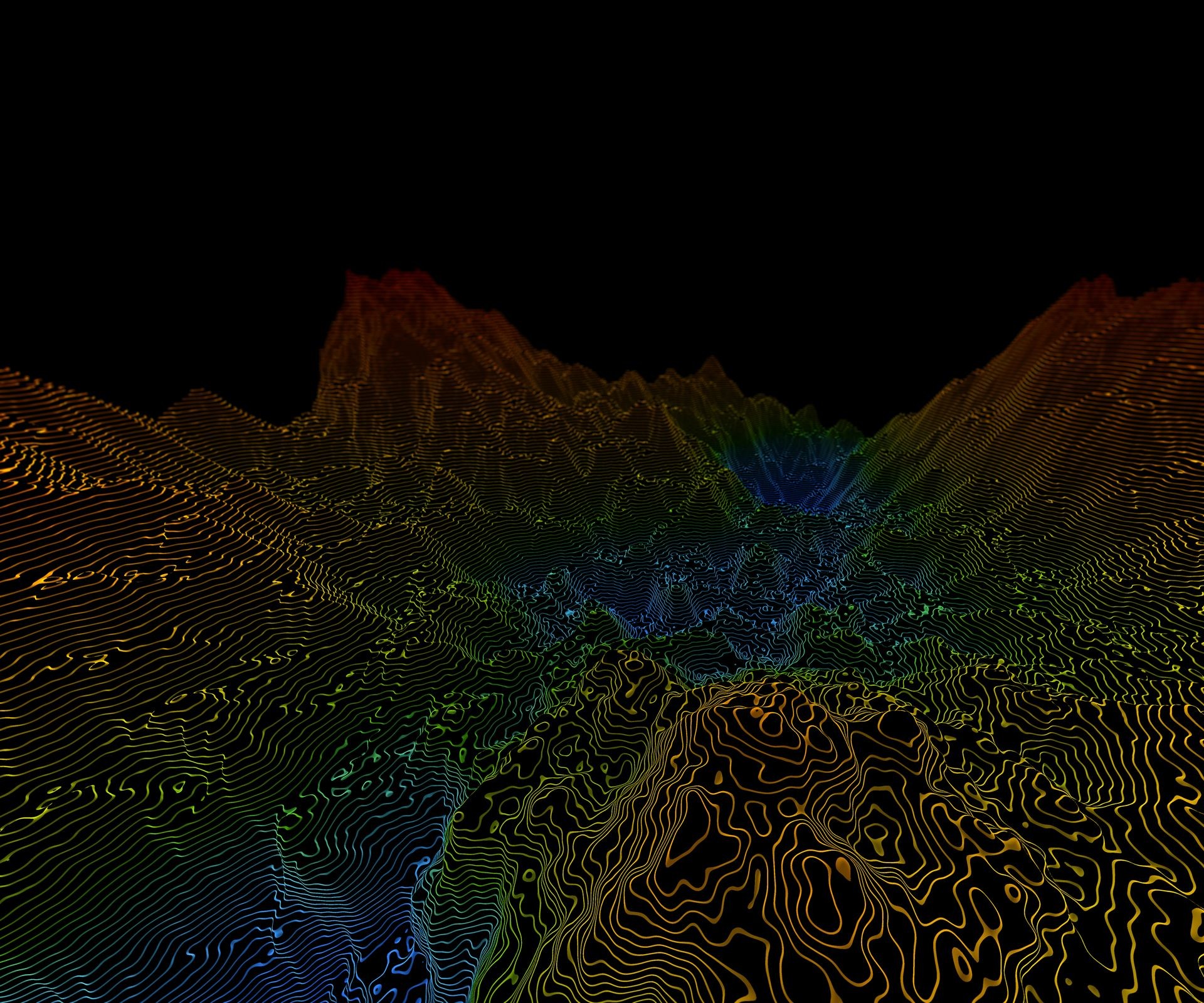
Topographical Surveying
Topographical surveying is essentially creating an up-to-date three-dimensional map of an area and can include features both above and below the ground. The topographic surveys conducted by Survey Solution land surveyors are often the building block for all future planning and design. We can prepare the most detailed topographical surveys for you, whether it be for the engineers or the architect.
Survey Solution uses Total Stations and GNSS receivers (previously called GPS) technology to map each topographical feature to the highest accuracy.

