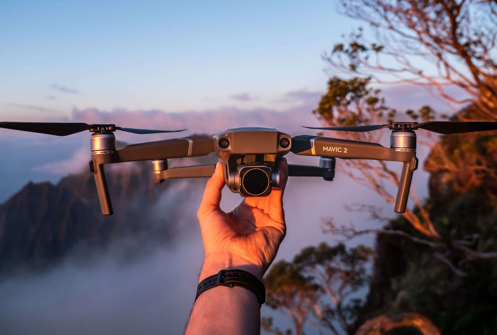
Unmanned Aerial Vehicle (UAV)
UAVs (Unmanned Aerial Vehicles, commonly known as a drone) are ideal tools for sites such as quarries, bluffs (Cayman Brac), dump sites and unstable ground and lands that are hard to access and land that is too dangerous to access.
Survey Solution has a certified drone pilot (certification obtained from CIAA) that is able to map your property. Our UAVs allows us to match the most appropriate technology, whether it be surveying small areas or larger area of land or road for development.
From these images obtained from the drones, a variety of different deliverables, including 3D surface data, topographical data and volumetric data, can be provided for you to be able to effectively manage your land and its resources.
Advantages of working with Survey Solution
Survey Solution are licensed surveyors with UAV licenses obtained from the Civil Aviation Authority of the Cayman Islands. With licensed surveyors operating drones, you can be sure of the accuracy of the data you will receive.
Additionally, we have safety procedures with the use of our DJI drones in place to provide our clients with confidence.
Survey Solution is excited to lead the changing face of professional surveying in the Cayman Islands.

